About Bonito, Brazil: Where It Is, Why the Water Is Clear and How Tourism Works
Bonito Map: Where Each Tour Is and How the Region Is Laid Out
Bonito's tours fan out in four directions from town. Understanding that helps you build the itinerary and save on transport.
Updated September 24, 2026 · Guia de Bonito editorial team
Approximate directions. Distances in km from the center of Bonito.
Bonito, Brazil is not a place where you walk from one tour to the next. The town is the starting point, and the attractions are 5 to 60 km away, in four different directions. Anyone who understands this geography builds a cheaper, less tiring itinerary, because they group on the same day whatever lies on the same side. This article is the mental map of the region. An interactive map will be added to this page; for now, use the directions and distances below with a maps app.
What is in town
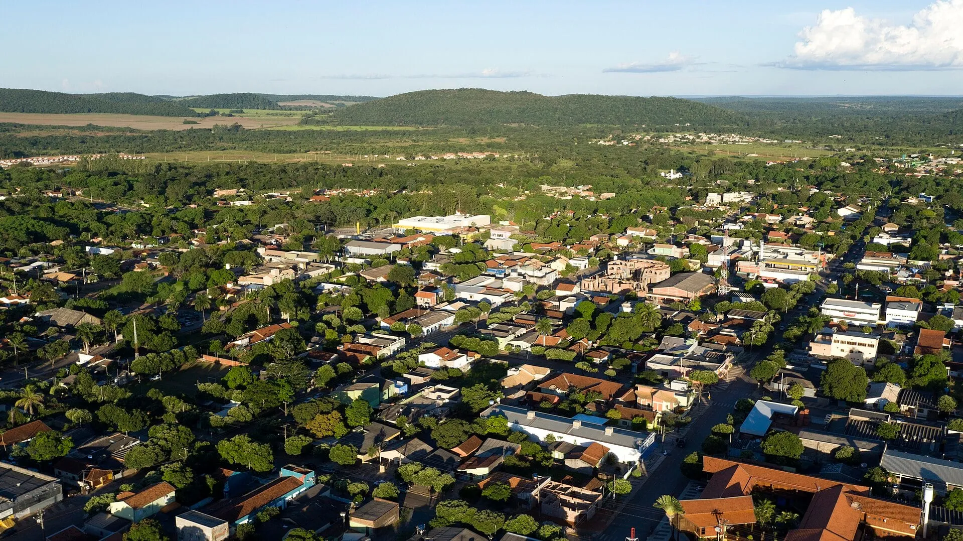
The center of Bonito is compact and runs along Rua Coronel Pilad Rebuá, the main street, and the nearby streets. That is where you find the tour agencies, restaurants, ice-cream shops, stores, banks and a good share of the guesthouses and hotels. You can cross the central area on foot in fifteen minutes.
Among the attractions, only Projeto Jiboia, with its talks about snakes, is in the urban area. Everything else is in the countryside. The bus station is in town; the regional airport is about 15 km from the center.
The four directions
East: arriving from Campo Grande
Anyone coming from Campo Grande (the state capital and nearest large airport) arrives from the east, on a trip of about 300 km and roughly four hours. In this direction, close to town, are attractions on the Formoso River, such as the Balneário Municipal and Aquário Natural, about 7 km from the center. These are the easiest tours to fit into a half-day. See how to get to Bonito.
West: caves and the Sucuri River
To the west and southwest are the Blue Lake Cave and São Miguel Cave, about 20 km away, and the Sucuri River, about 19 km. This is the classic one-day combination: cave in the morning, snorkeling on the Sucuri in the afternoon, or the reverse. The Anhumas Abyss is also in this quadrant, about 23 km away.
South: Jardim and Rio da Prata
The highway south leads to Jardim, about 60 km away. Along the way and in that neighboring municipality are Rio da Prata, Buraco das Araras and Lagoa Misteriosa, all between 50 and 55 km from Bonito. It is the direction with the longest drive and, for that reason, the one that most calls for grouping: Rio da Prata in the morning and Buraco das Araras in the late afternoon, when the macaws return, is the most common day on any itinerary. Closer to town, in the same direction, are Praia da Figueira and Mimoso Cave.
North: Bodoquena and the waterfalls
To the north, the road continues to Bodoquena, about 65 km away. This is the direction of the waterfalls: Estância Mimosa, about 25 km, Rio do Peixe, about 35 km, and Boca da Onça, already in Bodoquena, about 57 km. Nascente Azul, snorkeling and river beach, lies to the north on the same Bodoquena road, about 30 km away. Boca da Onça and Rio do Peixe are full-day tours, and the drive is part of the count.
Tours by direction and distance
The distances below are approximate, measured from the town center, and are meant for planning. Each tour’s page gives the reference figure and the driving time.
| Tour | Direction | Approx. distance | Municipality |
|---|---|---|---|
| Balneário Municipal | East, near town | 7 km | Bonito |
| Aquário Natural | East, near town | 7 km | Bonito |
| Praia da Figueira | South, near town | 12 km | Bonito |
| São Miguel Cave | West | 17 km | Bonito |
| Sucuri River | Southwest | 19 km | Bonito |
| Blue Lake Cave | West | 20 km | Bonito |
| Anhumas Abyss | Southwest | 23 km | Bonito |
| Estância Mimosa | North | 25 km | Bonito |
| Mimoso Cave | South | 26 km | Bonito |
| Nascente Azul | North | 30 km | Bonito |
| Rio do Peixe | North | 35 km | Bonito |
| Rio da Prata | South | 50 km | Jardim |
| Buraco das Araras | South | 53 km | Jardim |
| Lagoa Misteriosa | South | 55 km | Jardim |
| Boca da Onça | North | 57 km | Bodoquena |
How to use the map to build your itinerary
- One quadrant per day. Combine tours in the same direction: west (cave and Sucuri), south (Prata and Araras), north (one waterfall, which already fills the day).
- Near town on the short days. On arrival and departure days, fit in the river beaches and Aquário Natural, 7 km away.
- Count the road time. Much of the final access is on dirt. Thirty kilometers can take 45 minutes, and longer in rain.
- Without a car, let the agency do the grouping. That is what it does by default, charging transport per tour or per day. See Bonito without a car. With a car, the map is yours: Bonito by car.
To understand the terrain that organizes all of this, read Serra da Bodoquena. For an overview of the town, see about Bonito.
Frequently asked questions
Are Bonito's tours close to town?
Some are 5 or 7 km away, such as the Balneário Municipal; most are between 15 and 35 km; and those in Jardim and Bodoquena are 50 or 60 km away, on roads that mix pavement and dirt. Count on 20 minutes to more than an hour of driving each way.
Can you do two tours in the same day?
Yes, when both lie in the same direction. Rio da Prata and Buraco das Araras, both toward Jardim, is the most common combination. Tours in opposite directions on the same day force you back through town, which eats time and transport.
Which tours are in other municipalities?
Rio da Prata, Buraco das Araras and Lagoa Misteriosa are in Jardim, to the south. Boca da Onça is in Bodoquena, to the north. They are sold by Bonito's agencies and are part of the normal itinerary, but the drive is longer.
What is inside the town of Bonito itself?
The tour agencies, restaurants, ice-cream shops, stores and most of the lodging, concentrated on the main street and around it. Among the attractions, Projeto Jiboia is in the urban area; all the others are in the countryside.