About Bonito, Brazil: Where It Is, Why the Water Is Clear and How Tourism Works
Serra da Bodoquena: The Limestone Plateau That Explains Bonito
The Serra da Bodoquena is a limestone plateau in the southwest of Mato Grosso do Sul, Brazil. The clear rivers rise from it, and a national park protects part of it.
Updated September 24, 2026 · Guia de Bonito editorial team
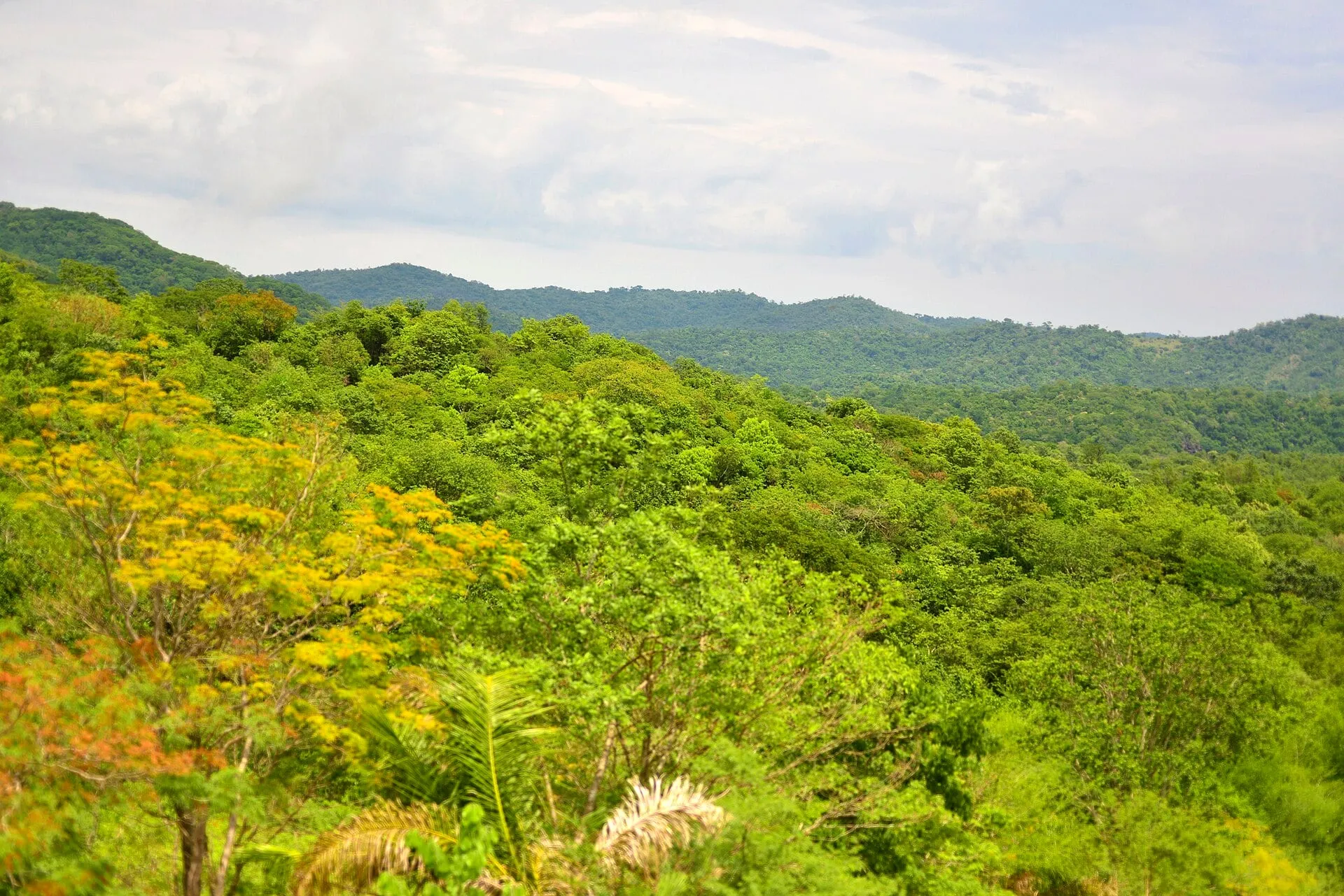
Everything that draws visitors to Bonito, Brazil, from the crystal-clear rivers to the caves and waterfalls, exists because of the Serra da Bodoquena. Understanding what it is helps explain why the water is the way it is, why the tours are regulated the way they are, and why heavy rain changes your itinerary. This page is the summary; the general introduction to the town is in about Bonito.
What the serra is
The Serra da Bodoquena is a plateau running north to south in the southwest of Mato Grosso do Sul, between the Pantanal floodplain, to the west and north, and the lower land toward Paraguay, to the south. It is not a range of high mountains: it is a raised block with steep edges, a few hundred meters above the surrounding plains. Its name comes from the municipality of Bodoquena, north of Bonito. (“Serra” is the Portuguese word for a mountain range or highland.)
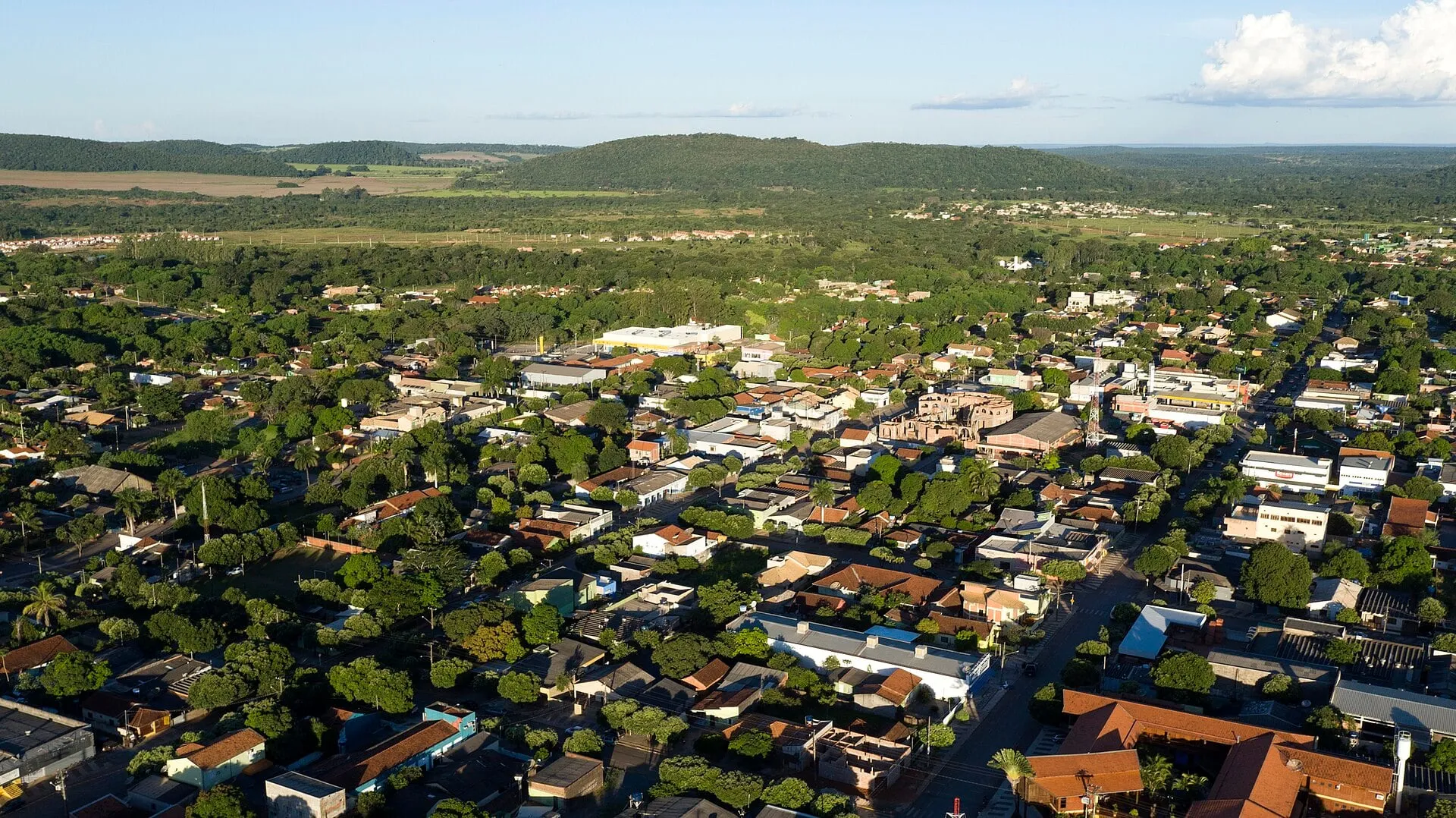
The plateau extends over four municipalities: Bonito, Bodoquena, Jardim and Porto Murtinho. Bonito is the tourism hub; Bodoquena and Jardim have attractions sold by Bonito’s agencies, such as Boca da Onça and Rio da Prata; Porto Murtinho lies at the southern end, on the banks of the Paraguay River, and has little connection with Bonito’s tourist circuit.
Serra da Bodoquena National Park
Serra da Bodoquena National Park was created by federal decree in 2000, with about 76,000 hectares divided into two blocks, one to the north and one to the south. It is managed by ICMBio, Brazil’s federal agency for protected areas. Its purpose is to protect the limestone plateau, the springs that feed the region’s rivers, and the remaining forest and cerrado savanna that cover the plateau, with wildlife that includes jaguars, tapirs and macaws.
For visitors, the important point is this: most of Bonito’s attractions are not inside the park. They are on private properties, on the same plateau and in the same river basins, but outside the boundaries of the conservation unit. Public access to the park is restricted and depends on authorization from the managing agency. What you visit in Bonito are farms that run tourism under their own licenses, within the single-voucher system.
The geology: why limestone matters
The plateau is made largely of very old limestone, formed from marine sediments hundreds of millions of years ago, when the region was covered by a shallow sea. Limestone is calcium carbonate, and rainwater, which is slightly acidic, dissolves it slowly. This process, called karstification, produces what you see in Bonito:
- Clean-water springs. Rain seeps into fractures in the rock, travels underground and surfaces at springs already filtered, without the mud that clouds rivers in other regions.
- Crystal-clear rivers. The water comes out loaded with calcium carbonate. This mineral makes suspended particles clump together and sink, and forms a layer on the riverbed that traps the sediment. With little in suspension, visibility reaches tens of meters. It is also why touching the bottom or wearing sunscreen in the water is prohibited: the first stirs up sediment, the second interferes with the process.
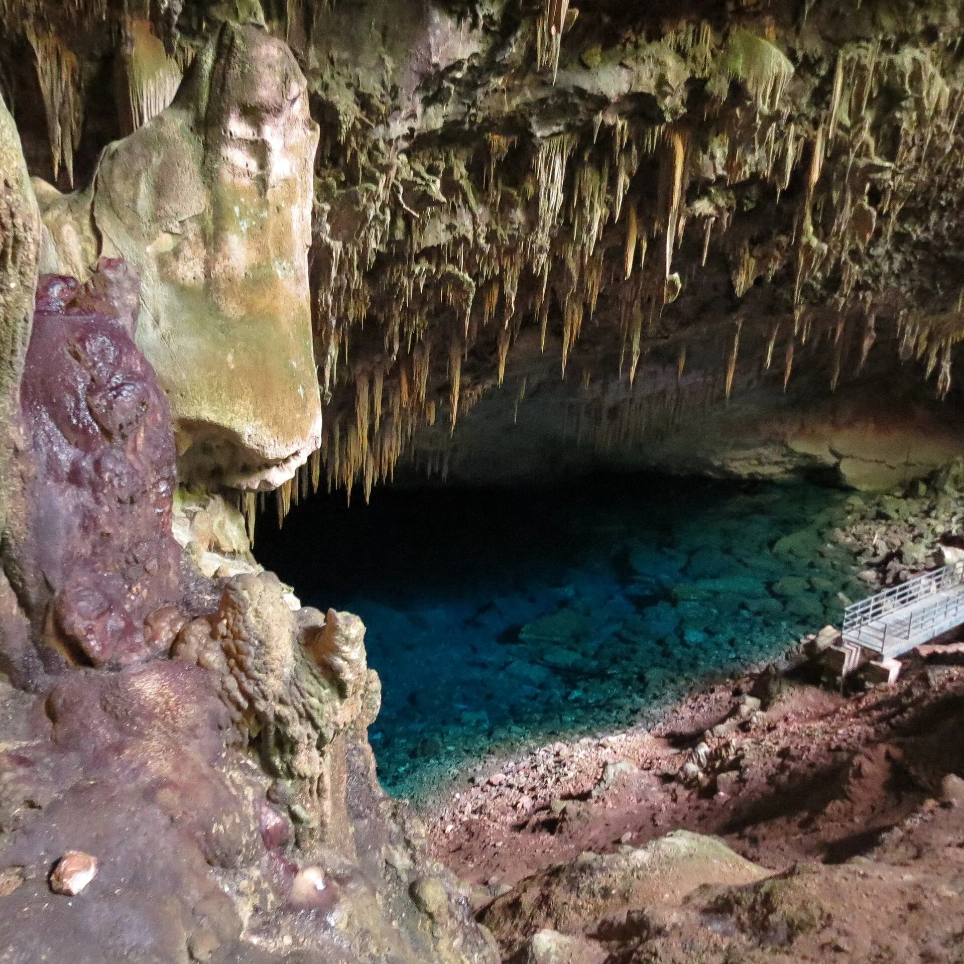
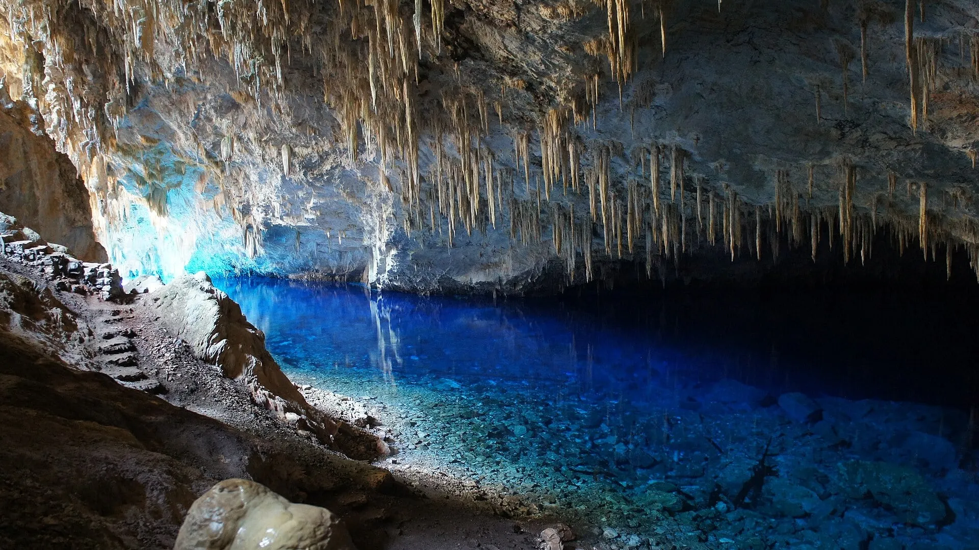
- Caves and underground lakes. Dissolution opens galleries in the rock. Where a gallery meets the water table, a lake forms, as in the Blue Lake Cave and the Anhumas Abyss. See caves in Bonito.
- Sinkholes. When the roof of a cavity collapses, a crater opens. Buraco das Araras and Lagoa Misteriosa are sinkholes, one dry and one flooded.
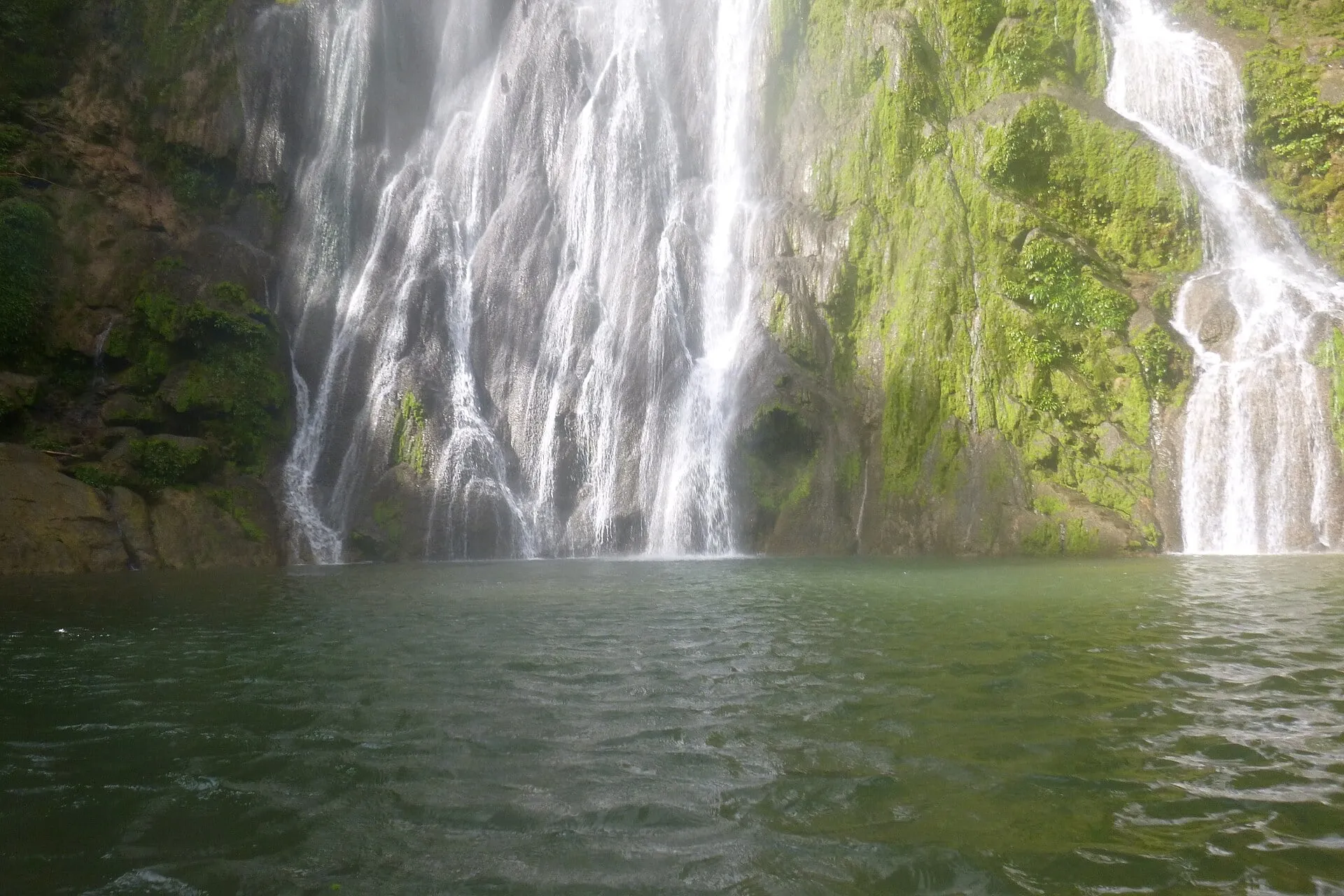
- Tufa and waterfalls. Where the water loses carbon dioxide, the carbonate is deposited and forms barriers of porous rock, called tufa. They create steps and natural dams, which are the region’s cascading waterfalls and pools, such as those at Boca da Onça and Estância Mimosa. See waterfalls in Bonito.
The relationship with the rivers
Bonito’s rivers, such as the Formoso, the Sucuri, the Prata and the Peixe, rise on the plateau or at its foot and flow into the Miranda River basin, which in turn drains into the Paraguay River in the Pantanal. They are spring-fed rivers, supplied by the limestone aquifer, and for that reason keep a relatively stable flow and temperature throughout the year.
The balance is fragile. Heavy rain brings runoff from the banks and clouds the water for hours or days; clearing the riverbanks and the aquifer’s recharge areas brings sediment permanently. That is why riparian forest, the visitor cap per attraction and the rules in the water are not formalities: they are what maintains the clarity that sustains tourism. The details of how this is organized are in history of Bonito.
How the serra shows up in your itinerary
For visitors, the plateau translates into directions and distances: caves to the west, waterfalls to the north, Rio da Prata to the south. The Bonito map organizes the tours by quadrant. And it translates into rules: a mandatory guide, small groups, no sunscreen in the water, no touching the bottom. All of it comes from the same rock.
Frequently asked questions
Can you visit Serra da Bodoquena National Park?
Public access to the park is restricted and depends on authorization from the managing agency, and there are no visitor facilities comparable to those of the private attractions. The tours sold in Bonito are mostly on private properties outside the park boundaries, though on the same plateau.
Is the Serra da Bodoquena a real mountain range?
It is a plateau with steep edges rather than a chain of peaks. Its elevation is a few hundred meters above the surrounding plains. What defines it is the limestone, not the height.
Why are the rivers of the Serra da Bodoquena so clear?
Because the water passes through limestone before surfacing, emerging filtered and loaded with calcium carbonate, which makes suspended particles settle. The riverbed ends up covered by a mineral layer that holds the sediment in place.
Which municipalities are part of the Serra da Bodoquena?
Bonito, Bodoquena, Jardim and Porto Murtinho are the municipalities over which the national park and the plateau extend. Bonito is the tourism hub; Bodoquena and Jardim have attractions sold by Bonito's agencies; Porto Murtinho lies farther south, on the banks of the Paraguay River.